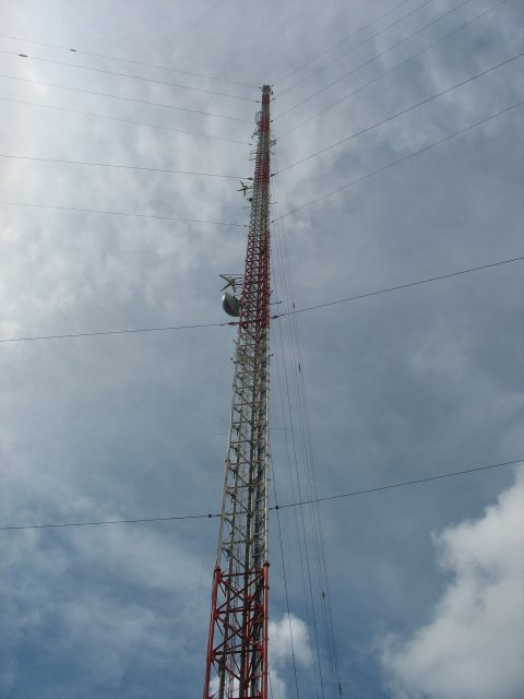
Here are some specs on the WDSU tower:
Height: 294.4 meters
Height above sea level: 296.0 meters
Location: 29° 56' 59.00" N Latitude 89° 57' 28.00" W Longitude
ASRN#: 1020862
For the time being, WGNO and WNOL lease space in this tower's transmitter building and their signals are combined into the same antenna as WDSU. WGNO and WNOL own their own tower site, and have construction and maximization permits to re-locate to their own tower. I assume that they have plans and a schedule to do so. We will visit the (temporarily dormant) WGNO/WNOL tower later in the tour.
Specs on WDSU:
Display Channel: 6
Digital Channel: 43
Affiliation: NBC
Owner: Hearst
Power: 1000 kW
HAAT: 938' (286m)
AGL: 941' (287m)
Specs on WGNO:
Display Channel: 26
Digital Channel: 26
Affiliation: ABC
Owner: Tribune
Power: 1000 kW
HAAT: 938' (286m)
AGL: 941' (287m)
Specs on WNOL:
Display Channel: 38
Digital Channel: 15
Affiliation: CW
Owner: Tribune
Power: 775 kW
HAAT: 938' (286m)
AGL: 941' (287m)
WDSU (Hearst) owns this tower.
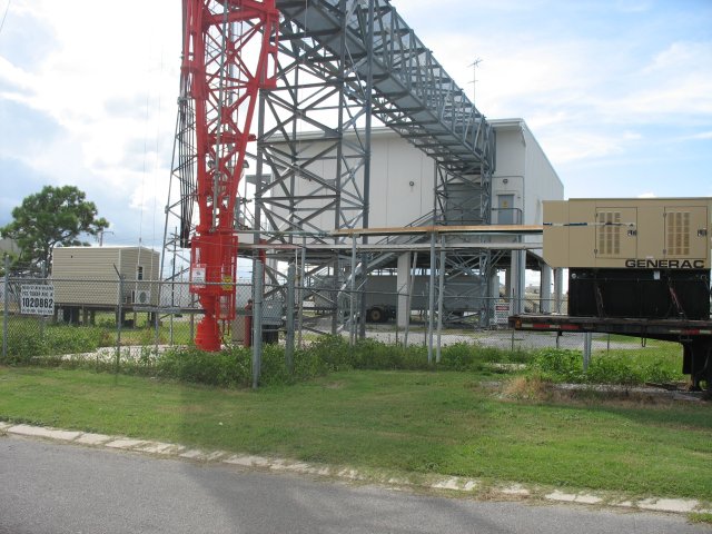
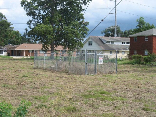
We'll look at the base first. Prior to Katrina, the equipment was housed in a slab-on-grade building. That building had eight feet of water in it after Katrina. WDSU decided they didn't want that to happen again. The new equipment building is 24 feet above grade. Look at how close the base is to a residential street!
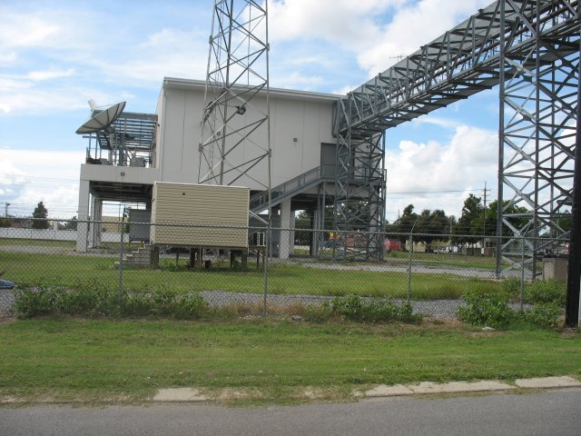
Another view:
The top. The digital antenna remains side-mounted. They have not applied to top mount it.
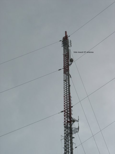
And, a longer view:
Finally, a guy anchor. This one is closer to a residence than any of WWL's were. But like I said earlier, wait until you see WYES/WVUE!!
Moving on to the WVUE/WYES "Twins".
Back to the previous page.